That was the question posed last autumn on the Facebook page ‘I remember Blackheath and Rowley Regis’. The question was asked by someone who was commemorating local men who had given their lives in WW1 by placing poppy wreaths near where they had lived and she could not find Gadds Green anywhere locally.
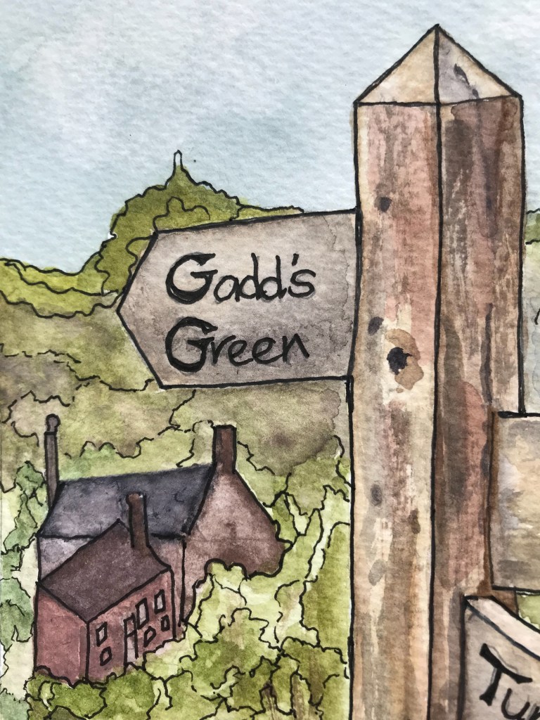
I was taken by surprise. Researching my Rowley family, and having an ever expanding collection of older edition maps of the area, I had known for many years that Gadds Green was one of several small hamlets situated on or at the foot of Turner’s Hill, less than a mile from the village proper and the church. But, because I have not lived in Rowley Regis for more than 50 years, I had not realised that Gadds Green simply did not exist now, quarried out of existence, along with most of the houses on Turner’s Hill and Perry’s Lake. The quarry which had given so many men their employment had ended up taking their homes.
It seems likely to me that many of the place names in this area – Perry’s Lake, Gadd’s Green and Turner’s Hill may be related to families who owned the land or who lived there, especially as they tend in earlier records to have an apostrophe, although this often fell out of use in later years. The surname Perry appears in the Parish Registers as early as 1641, Turner in 1651 and Gadd in 1653 so these families had been in the village for centuries. Further research into Hearth taxes and other Land documents in various archives may cast further light on this theory when I can access records. Transcribing sequences of baptismal registers has also taught me that what people called their places of birth and residence varied from time to time and that what Priests and Ministers called them varied, too. Some place and street names appear to be very old – Powke Lane is shown on a map dated 1775 and in the St Giles Registers as early as 1723, Gosty Hill in 1729
Some place names appear in use for a short time and then disappear without trace, such as Blackberry Town which I think was somewhere below Springfield. There was a Treacle Street in the same area in the 1841 but not the 1851 Census. What I knew as Dudley Road, going from Rowley through Springfield– my birthplace! – to Dudley simply did not exist until the late 1800s, the route from Halesowen to Dudley, according to J Wilson Jones skirted Furnace Hill, past Coombe Mills, the Woodgate, Coombs Wood, Gorsty Hill over the Canal Tunnel and Slecks Hilloock down the present day Station Road, skirting Codsall Coppice to Old Hill. The later main Halesowen Road was an unimportant track weaving its way towards the abbey , leading some to speculate that this was a Pilgrim’s Way. Climbing to the Knoll (Knowle) the road then went via Tipperty Green, Perry’s Lake and then up Turner’s Hill to Oakham, Lye Cross and Dudley. The road we now know as the Dudley Road through Springfield was marked on the 1884 First Edition OS map as the “New Rowley Road”. Until that was built, if you wanted to go to Dudley, it was the high road over the Hill!
In the meantime, I have started work on a One Place Study which I am calling Rowley Regis – the Lost Hamlets, as a place to record all that I have learned about these now lost hamlets, to record information from censuses, parish records and family stories.
As part of my One Page Study, I have been transcribing censuses for the hamlets of Perry’s Lake, Gadd’s Green and Turner’s Hill – starting with the 1851, as that has much more information than the 1841. I have transcribed four censuses so far – 1841, 1851, 1861 and 1871 and am working on 1881. It is very interesting to see families intermarry, move short distances and occupations change over the decades, the latter something also observable in the transcription of parish Baptismal registers which record father’s occupations.
More detailed posts will be coming on the individual censuses and on some of the families living in the area.
