Rowley Regis has, it seems, always consisted of not only the ancient parish but also of a number of hamlets, large and small arranged around the village, like satellites.
The introduction to the transcribed Parish Registers, published by the Staffordshire Parish Registers Society in 1915, and written by the transcriber Miss Henrietta Mary Auden, a Fellow of the Royal Historical Society, or some other knowledgeable authority on local matters offers this commentary:
“The parish in medieval times comprised many isolated houses and hamlets, homes originally of settlers in the forest, and as late as 1842 it was remarkable for the number of old small enclosures. The Manor is not mentioned in Domesday but was apparently a Royal Manor before the Conquest. “
This perhaps laid the pattern of numerous distinct small settlements which persisted until the late 1800s, after which they gradually merged until there was no open space between them. A teacher at the local grammar school in the 1980s commented recently on the local Facebook site that she was amazed, on moving to the area to teach, to find that the local people were very clear about which of these hamlets they lived in, even though, to her as an outsider, there appeared to be no formal or recognizable boundaries that she could identify.
In 1851 William White wrote “The Parish of Rowley Regis forms part of the great Barony of Dudley and contains 7,438 inhabitants and 3,350 acres of land, of which the executors of the late Earl Dudley are lords and owners, and hold Court Leet here in September. The parish comprises the large but indifferently built village of Rowley, seated on the declivity of a lofty hill two and a half miles S.E. of Dudley and about 20 hamlets all of which maintain their poor conjointly, and are occupied chiefly by nailers, chain makers and the miners, forgemen etc employed in the extensive coal and iron works here. “
Twenty hamlets are listed by White in 1851:
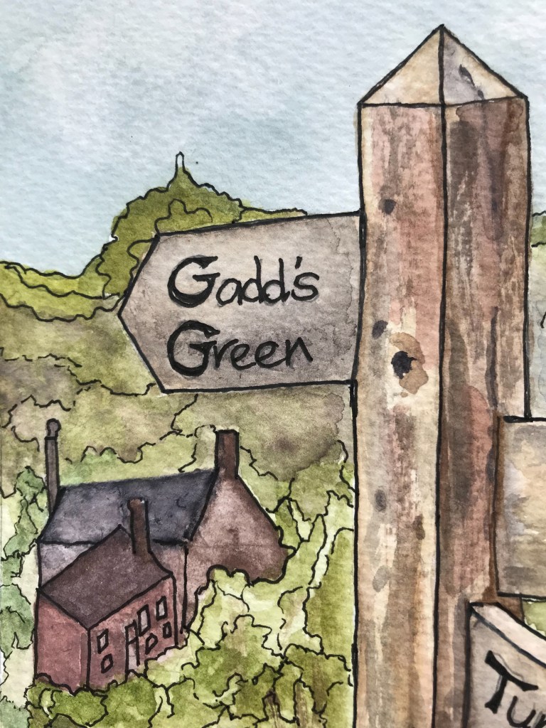
Blackheath, Corngreaves, Cradley Heath, Gosty Hill, Haden Cross, Haden Hill, Hayseech, Knoll, Lye Cross (near Oakham, not to be confused with Lye near Cradley Heath), Oakum (Oakham), Old Hill, Portway, Powke Lane, Reddal Hill, Tipperty Green, Tividale, Turner’s Hill, Windmill End, Whiteheath Gate, Slack Hillock and the other houses in Rowley Village.
In his book A History of the Black Country, published in about 1950, J Wilson Jones, a former Librarian for Blackheath, considers that, at the time of the Enclosure Act of 1799, there were hamlets at:
The Brades (near Oldbury, developed circa 1780 owing to the Iron Works), Tividale (near Dudley, also with a large Iron Works. Developed upon Sheldon Estates.), Oakham (an early settlement as by its name the dwelling in the Oaks), The Knoll (later known as Knowle), Ibberty (Tipperty) Green (a manorial mill), Windmill End (another manorial mill), Old Hill, Reddal Hill, Cradley Heath. Lawrence Lane, Longtown, Corngreaves, Hayseech and Gorsty Hill. He suggests that these hamlets consisted of about twelve or more homesteads plus groups of from three to six houses or homesteads at Whiteheath Gate, Portway, Turner’s Hill and Perry’s Folly (Perry’s Lake). There are differences between the lists, but they are largely the same.
Wilson Jones notes that Perry’s Lake was sometimes known as Perry’s Folly which suggests a connection with an individual and an intriguing tale which I will relate if I can find out any more about it. Local people tell me that their families called Perry’s Lake Heaven when they lived here, in the early and mid 20th century, although I have found no formal record of these names. The reason for these variations is unknown but it is not the only local place to have had several different names over the centuries.
Some of these hamlets, such as Cradley Heath and Old Hill thrived and expanded into substantial separate communities over time, others faded from history and it is these ‘lost hamlets’ which are the subject of my study, although interesting stories about other parts of Rowley Regis may appear from time to time, if I find these in the course of my research.
I hope you will find my One-Place Study website interesting. This is very much work in progress. With new blogs being added, do check back now and again to see what’s new.
If you have any interesting stories, memories, photographs or postcards which you are willing to share, please do get in touch with me via the Contact Page.